Time Walk
A Field Becomes a Road


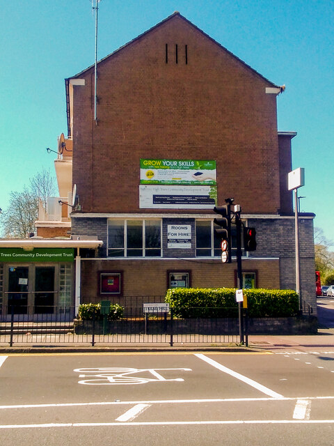
A farmer's field became a road, and a church spire grew up to close its view. Walking it today, the northern side is a tight run of Edwardian terraces, the southern side grander Victorian houses behind deep front gardens, and the whole street is drawn east toward the spire of Holy Trinity Church.
Beneath the two mismatched rows of housing lies a single piece of manorial land, freed from copyhold tenure and built over within six years. That change in the land itself is where this street's name story starts.
Name Origin
A Name Without an Explanation
The sources used here do not explain why the road was named Trinity Rise. Holy Trinity Church was consecrated on 5 February 1856, six years after the road was laid out across Page's Field. Whether the name came with the road or arrived with the church is not stated in the sources consulted.
History
From Page's Field to a Church with a Benefactor
The road came first. Around 1850 Trinity Rise was built on Page's Field, former copyhold land of Lambeth Manor that had been enfranchised in 1844. One source gives an earlier date, 1845, for the same connecting road.
The church that gives the street its focal point followed soon after. In 1855 Jonah Cressingham gave the sites of Holy Trinity Church and its parsonage to the Church Building Commissioners, and paid for more than two-thirds of the construction cost himself. The church, designed by T. D. Barry, was consecrated on 5 February 1856, seated 1,000 people and cost about £6,000 to build.
Barry's building has a nave, transepts and a shallow curved chancel, built of stone with a steep slate roof, and a tower topped by a spire at the corner of the north transept. The parsonage beside it was built at the same time and in the same style.
Almost a century later, war damage was made good. In 1951 three stained glass windows depicting the Creation, Redemption and Sanctification were fitted into the apse to replace glass destroyed in the 1939-45 war, the work of Clare Dawson.
The ground for Holy Trinity Church and its parsonage was not bought: Jonah Cressingham gave both sites freely to the Church Building Commissioners.
People
A Benefactor, an Architect, a Glass-Maker
Jonah Cressingham made the church possible, giving the land and most of its funding. T. D. Barry was its architect.
Nearly a century later, Clare Dawson's work answered damage done by war: her three windows, fitted in 1951, replaced glass destroyed between 1939 and 1945.
Today
Two Streets in One
Trinity Rise still reads as two different roads stitched together. The north side keeps its tightly terraced Edwardian houses; the south side keeps its more imposing Victorian properties set in deep, leafy front gardens. The grander Victorian houses once had brick boundary walls, and the Edwardian houses had modest timber fences, though in places these have since been removed for off-street parking, taking the soft landscaping with them.
Looking east, the street is still closed by the spire of Holy Trinity Church. Most of Trinity Rise, apart from its western end, has sat within the Brockwell Park Conservation Area since 1999.
On the Map
Trinity Rise Then & Now
Frequently Asked Questions
Why is it called Trinity Rise?
The sources used here do not explain the name. Holy Trinity Church was built on the street in 1856, six years after the road itself was laid out, but no source states that the road was named for the church.
What is Trinity Rise known for?
Holy Trinity Church, consecrated in 1856 and designed by T. D. Barry, stands on the street with a spire that closes the view from the east, and Trinity Rise is known for the contrast between its Victorian and Edwardian terraces.
When was Trinity Rise built?
It was laid out around 1850 across former copyhold land called Page's Field, to link Tulse Hill with Norwood Road; one source gives a date of 1845 for the same road.