The land beneath Elm Park lay for centuries within the Manor of Kennington — one of the great surviving medieval manors of south London, belonging to the Duchy of Cornwall. As British History Online records in the Survey of London, the Kennington estate comprised a patchwork of copyhold fields, market gardens, and open pasture that was developed piecemeal from the late 18th century as London’s suburban frontier advanced southward along Kennington Road and Clapham Road.
pre-1800
Duchy farmland
The area forms part of the Duchy of Cornwall’s Manor of Kennington, held as copyhold farmland and market garden.
1750s
Kennington Road laid
Kennington Road is built under the Turnpike Act of 1750–1, opening southern parishes to suburban development.
1852
Common becomes a Park
The Kennington Common Inclosure Act converts the notorious Common into Kennington Park, signalling the area’s transition to respectable suburb.
c. 1850s–70s
Street laid out
Elm Park is built as part of the speculative terrace-building wave spreading through Clapham, SE11.
1855
Metropolitan absorption
Kennington is incorporated into the metropolitan area of London, bringing new vestry governance to the rapidly growing parish.
1965
London Borough formed
The London Government Act creates the London Borough of Lambeth, within which Elm Park SE11 sits today.
Did You Know?
Kennington Common — a short walk from Elm Park — was for over a century one of London’s most feared public execution grounds. As recorded in British History Online’s Survey of London, part of the Common was known as “Gallows Common” and hosted executions of Jacobite rebels in 1745. It was converted to a park only in 1852 — barely a generation before the streets of Clapham around it were built.
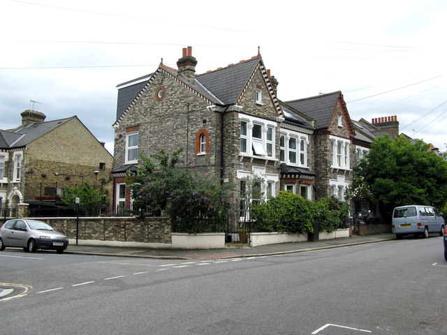
The Survey of London documents how the Duchy copyhold estates were progressively released for building from the late 18th century. Speculative builders took building leases on individual plots, throwing up terraces in the characteristic yellow stock brick of south London. Historic England’s records of the area confirm that the SE11 streetscape’s surviving Victorian terraces represent the rapid residential build-out of formerly agricultural Duchy land throughout the mid-to-late 19th century.
Excavations and surveys conducted by MOLA in the wider Kennington and Clapham area have identified evidence of earlier land-use beneath the Victorian street plan — field boundaries, drainage ditches, and pottery fragments pointing to centuries of agricultural use before the builders arrived. This ground, in other words, had been worked by Manor tenants for generations before a single house stood on Elm Park.