Time Walk
Walking the Line of a Lost Dyke


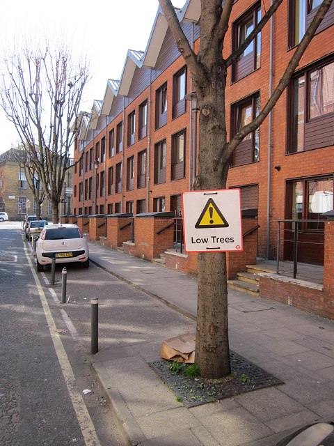
A medieval earthen dyke built to carry travellers down to the Thames gave this short lane both its name and its line. Little of that crossing is visible today; it now functions as a narrow back lane behind Stamford Street, its printing-school walls and former pub sites altered and renumbered over time.
Beneath the present street lies a much older geography: the meadows, market gardens and industrial yards that once filled the ground between the dyke and the river. That older world is where the street's name begins.
Name Origin
The Dyke That Marked a Parish
Broadwall takes its name from a former earthen dyke that once stood on the site, marking the western boundary of the parish of Paris Gardens, later Christchurch. The dyke was built in the medieval period as a raised causeway, running perpendicular to Narrow Wall to carry a route from the south down to the river.
The dyke gave its name to the street that later followed its line. By 1740, Roque's map shows buildings already standing along Broadwall, likely for industrial use, confirming the street was established well before the surrounding area was built up.
History
From Meadows to Industrial Backland
Before it carried warehouses, the ground beside Broadwall was open land. Prince's Meadows lay between Broadwall on the east and the site of what became Waterloo Road on the west, inside the line of Narrow Wall. Between 1779 and 1789, the London Botanic Garden occupied the ground between Green Lane, now Cornwall Road, and Broadwall, with its southern edge at Curtis's Halfpenny Hatch.
That changed as the approaches to Waterloo Bridge were built. In 1815, a new stretch of Stamford Street was laid across Prince's Meadows to connect Broadwall to Waterloo Road. This stretch was known as Upper Stamford Street until 1868, when it was absorbed into Stamford Street and renumbered.
Through the eighteenth century, industrial development on Prince's Meadows concentrated along the south of Narrow Wall and along Broadwall itself, as building spread back from the riverfront and large plots were needed close to the water's edge. By the late nineteenth century, this had grown to include a Wheel and Tyre Works and various yards strung along the street.
People
A Leaseholder and a Schoolhouse Architect
Thomas Lett held the main lease of Prince's Meadows and, between 1815 and 1823, built the earliest houses on Upper Stamford Street, on the north side nearest Broadwall. His building marked the start of the street's transformation from meadowland into a developed urban edge.
Around 1820, a building to house the schools of the Benevolent Society of St. Patrick was built nearby by the firm of J. & H. Lee, to a design by the architect James Mountague. The building later stood at Nos. 59 and 61 Stamford Street, with a wing added to its Broadwall side in 1930.
Recent Times
A Printing School and a Renumbered Pub
In 1921, the London County Council bought the former St Patrick's schools property for use as the Central Printing School, then known as the London School of Printing and Graphic Arts.
The Mitre Tavern stood at No. 90 Broadwall in 1856, and later at No. 117 Broadwall. On 19 March 1937, streets in the area were re-ordered and realigned, and the pub's address of 117 Broadwall was reassigned as 51 Hatfields.
The Mitre Tavern changed address twice without moving — from No. 90 Broadwall in 1856 to No. 117 Broadwall, and then to 51 Hatfields when the streets around it were realigned in 1937.
On the Map
Broadwall Then & Now
Frequently Asked Questions
Why is it called Broadwall?
It is named after a former earthen dyke that once stood on the site, marking the western boundary of the parish of Paris Gardens, later Christchurch. The dyke itself was a medieval causeway built to carry a route south from the river.
What is Broadwall known for?
Broadwall is known as the line of a medieval causeway that later edged Prince's Meadows and a London Botanic Garden, before becoming home to industrial yards, a Wheel and Tyre Works, and the Benevolent Society of St Patrick's schools, later the LCC Central Printing School.
When was Broadwall first recorded?
The earliest dated evidence in the sources used here is Roque's map of 1740, which already shows buildings standing along the street, likely for industrial purposes.