Time Walk
The Lane That Lost Its Front Gardens


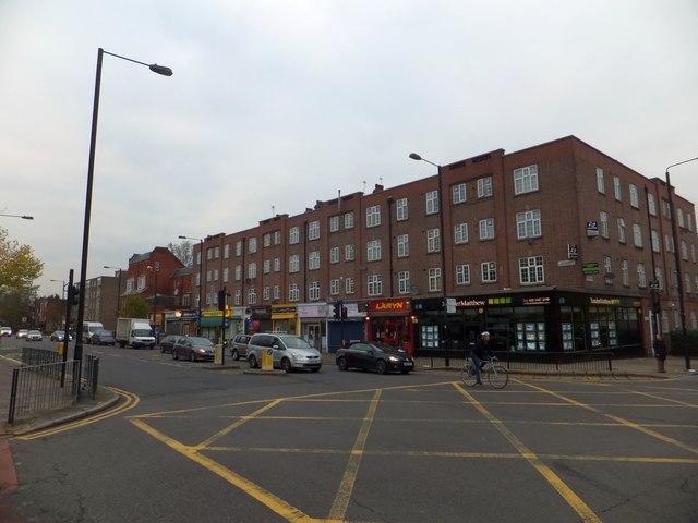
In 1974 residents stood in front of the bulldozers here and won. Today it's a road of Victorian terraces and a tall Gothic church spire, where the front gardens look oddly shallow for houses this grand, and the plots behind run long and narrow.
Those gardens were once much deeper, cut back when the road was widened after the Second World War. Beneath the traffic and trimmed hedges, the street still carries the shape of a much older lane — which is where its name begins.
Name Origin
The Far End of Acre Lane
Clapham Park Road did not start as a name in its own right. It is the western extremity of what was once called Acre Lane, an ancient country lane leading to Clapham. The whole route is thought to have been a secondary road first laid out in Saxon times.
Exactly when or why the western section took the separate name "Clapham Park Road" isn't recorded. The change likely reflects the later Clapham Park development that gave the area its character, but that link isn't spelled out in the sources consulted.
History
From Merchants' Suburb to Bulldozers' Doorstep
Clapham became a fashionable village in the late eighteenth century. By the 1770s its common had been improved and a new church built, drawing in a group of wealthy merchants.
Clapham Park Road itself was the first part of the area to be built up, developed in the 1820s with terraced housing set behind front gardens, carriage drives and unusually long rear plots. Nos. 194-196, known as Bedford Buildings, survive from 1822.
That survival was not guaranteed. The road was widened after the war, truncating the long front gardens that had defined it. Then, one Saturday morning in 1974, Bedford Buildings and the neighbouring terrace faced demolition. Local residents stood in front of the contractors' equipment, with police in attendance, until Lambeth's Chief Planning Officer arrived and served Building Preservation Notices, stopping the work. The same year, the area was protected as a conservation area — initially two separate areas, later merged as contiguous and of similar character. A revised boundary was approved in 2016, with Clapham Park Road forming its northern edge.
Bedford Buildings only survived because residents physically stood in front of demolition machinery one Saturday morning in 1974, holding the line until the council's Chief Planning Officer arrived to serve preservation notices.
Culture
A Spire Above the Terraces
Formally known as Our Immaculate Lady of Victories, its spire is a notable sight looking south along Clapham Road.
People
A Bishop's Commission
Bishop Nicholas Wiseman, later a Cardinal, commissioned William Wardell to design St Mary's, with John Francis Bentley supplying the fittings.
Today
Terraces, a Spire, and a Meeting-House
Clapham Park Road still mixes its 1820s terraces with later arrivals. A Plymouth Brethren meeting-house stands on the road, alongside the church whose spire remains a landmark view. Nearby, Abbeville Road slopes gently down towards it.
On the Map
Clapham Park Road Then & Now
Frequently Asked Questions
Why is it called Clapham Park Road?
It is the renamed western end of the old Acre Lane, an ancient country lane that led to Clapham. The sources used here do not explain exactly when or why this stretch took the separate "Clapham Park Road" name.
What is Clapham Park Road known for?
Its 1820s gardened terraces, including the 1822 Bedford Buildings, the Grade II*-listed St Mary's Roman Catholic Church, and a 1974 protest in which residents stopped demolition crews from pulling the terraces down.
How old is the road?
The route it continues is thought to date back to Saxon times as a secondary lane. The road's built character dates mainly from the 1820s, with Bedford Buildings recorded from 1822.
Did residents really stop a demolition?
Yes. In 1974, residents stood in front of demolition contractors' equipment at Bedford Buildings, with police present, until Lambeth's Chief Planning Officer arrived and served Building Preservation Notices.