Time Walk
A Street Rebuilt from the Ground Up


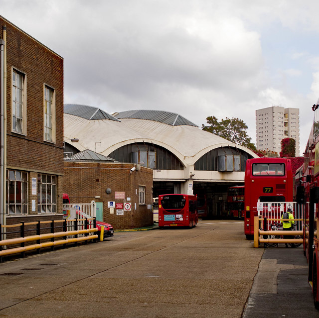
A bomb a few streets away in 1940 helped wipe out the old Studley Road and killed one of its residents. What a visitor sees today is a council estate put up in the 1950s, standing on ground that once held Victorian terraces and a Wesleyan Methodist chapel. A community resource centre now sits among the postwar blocks.
Beneath the current estate lies a street that belonged to a very different, chapel-going Clapham. The name itself, though, is where the trail runs cold.
Name Origin
An Unexplained Name
The sources used here do not explain the name Studley Road.
History
From Chapel to Council Estate
A Wesleyan Methodist chapel once stood on Studley Road, recorded in the Victoria County History's account of the parish of Clapham. By the 1950s the local authority had cleared and rebuilt the area as the Studley Estate, a council development that gave the street its present character. Decades later, between 2009 and 2012, the Stockwell Community Resource Centre was established on the street.
People
A Name Lost in the Blitz
George Barnes lived at 25 Studley Road. On 13 October 1940, at the age of 64, he died when a high explosive bomb struck the Prince of Wales pub at 294 Clapham Road, a short walk from his home. His death places a single, named life against the otherwise quiet record of this street during the war.
George Barnes, a 64-year-old Studley Road resident, was among those killed when a bomb destroyed the Prince of Wales pub on Clapham Road in October 1940.
Today
Council Blocks and a Community Centre
Studley Road today is defined by the estate built here in the 1950s. The Stockwell Community Resource Centre, established between 2009 and 2012, gives the street a civic presence alongside its housing.
On the Map
Studley Road Then & Now
Frequently Asked Questions
Why is it called Studley Road?
The sources used for this page do not explain the origin of the name.
What is Studley Road known for?
It is known for the Studley Estate, a council development built here in the 1950s, and for the Stockwell Community Resource Centre, established on the street between 2009 and 2012.
Did Studley Road have any older buildings?
Yes. A Wesleyan Methodist chapel once stood on the street, recorded in the Victoria County History of Surrey's account of Clapham parish.