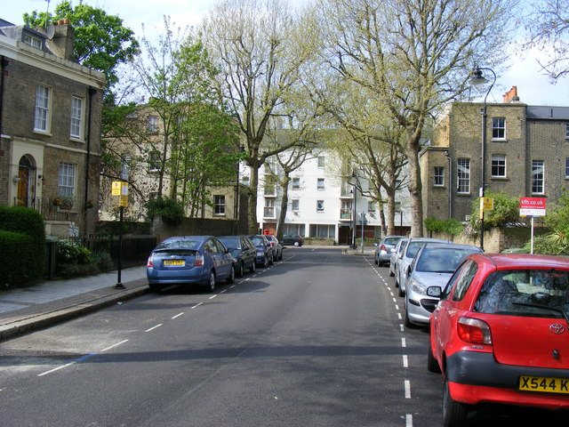
The Grand Surrey Canal, which opened in 1811, transformed the character of this part of Camberwell. Land that had been agricultural — loosely within St Mary Newington parish but on the edge of both Walworth and Camberwell — suddenly became attractive for speculative builders. The Grosvenor Estate was developed in the decades immediately following the canal’s opening, with Grosvenor Park and its companion streets laid out by Philip Urlwin and George Arams on land they had purchased from Thomas Cope and William Emmett.
1811
Canal Opens
The Grand Surrey Canal opens, making land in this part of Camberwell newly attractive to speculative builders.
c. 1840s
Estate Laid Out
Philip Urlwin and George Arams develop the Grosvenor Estate on land purchased from Thomas Cope and William Emmett.
1856
Urlwin Buried
Philip Urlwin, believed to be the key figure in the estate’s development, is buried at St Giles’ church. His will records ownership of the land.
1891
Renumbering
The present house numbering on the Grosvenor Estate streets is established, replacing the original numbering system.
1975
Council Housing
A retirement housing complex on Grosvenor Park is completed and managed by the London Borough of Southwark.
c. 2000s
Conservation Area
Southwark Council designates the Grosvenor Park Conservation Area, recognising the triangular cluster of surviving mid-Victorian terraces.
Did You Know?
The street that is now Grosvenor Terrace — immediately alongside Grosvenor Park — was originally called Brunswick Terrace, as a Victorian Ordnance Survey map reveals. The Victorian habit of rebranding streets with grander names swept both thoroughfares, leaving Brunswick behind entirely.
The properties on Grosvenor Park were built for the middling trades — the Camberwell Society’s research into over a century of rate books shows that residents of the Grosvenor Estate included sculptors, church-organ makers, attorneys, and music hall comedians. This was the working and lower-middle class of Victorian south London: skilled, ambitious, and keen to live somewhere with a name that sounded like money. The area’s ambiguous parish boundaries — formally in St Mary Newington but bordering Camberwell — meant it was poorly documented for decades, an oversight that SE1 Direct and local historians have worked to correct.
The Victorian terraces survived the 20th century in reasonable condition. Southwark Council’s conservation area designation recognised the triangular form created by Grosvenor Park, Grosvenor Terrace, and Urlwin Street as a coherent group of mid-19th-century speculative housing — one of the more complete survivors of its type in Camberwell.