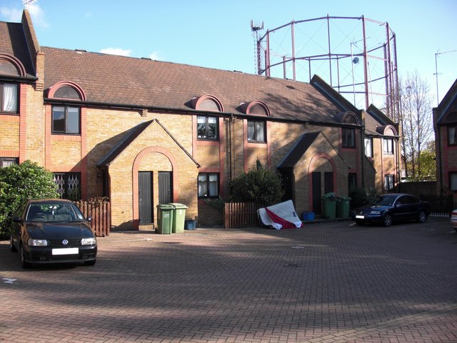
The ground beneath Clifton Place was once the low-lying, flood-prone marshland of the Rotherhithe peninsula. British History Online records that the area was “chiefly inhabited… by seafaring persons and tradesmen whose business depended on seamen and shipping” — a description that held for centuries before the Victorian terrace rows arrived. The whole parish, as the Victoria County History documents, was devoted more to industry and commerce than to residence, its river front perpetually at risk from the Thames.
c. 1611
East India Dock origins
Rotherhithe’s first wet dock constructed, establishing the peninsula as London’s premier maritime industrial zone.
1825
Thames Tunnel begins
Marc Isambard Brunel begins boring the world’s first underwater tunnel from the Rotherhithe shaft, yards from the present street.
1843
Tunnel opens
The Thames Tunnel opens to pedestrians — a feat of engineering that drew crowds from across London to Rotherhithe.
c. 1860s–70s
Street development
Clifton Place and the surrounding residential grid most likely laid out during the rapid housing expansion that followed dock expansion in the mid-Victorian period.
1869
Southwark Park opens
The Metropolitan Board of Works opens Southwark Park — covering around seventy acres — providing the surrounding dockland community with its first major public green space.
1970
Docks close
The Surrey Commercial Docks close, ending Rotherhithe’s working life as Britain’s timber port and beginning its long transformation into a residential neighbourhood.
Did You Know?
Rotherhithe’s name is most probably Saxon in origin, derived from redhra (a mariner) and hyth (a haven) — making it, in essence, “the mariner’s harbour.” The parish was so thoroughly a seafaring community that the 1774 Ambulator guide described it as inhabited almost entirely by “masters of ships and other seafaring people.”
The arrival of the Surrey Commercial Docks transformed Rotherhithe’s character entirely. MOLA (Museum of London Archaeology) investigations across the Rotherhithe peninsula have revealed layers of industrial and domestic occupation that speak to centuries of working-class life in the area — tanneries, cooperages, rope walks, and the domestic terraces that housed their workers. By the mid-nineteenth century, streets like Clifton Place were occupied by dock labourers, ship’s chandlers, and families whose livelihoods depended entirely on the rhythm of the timber trade.
The late Victorian decades brought a wave of school-board building to the area. As British History Online records, before the Board Schools arrived, the Southwark district had upwards of 42,000 children in need of schooling but provision for barely 13,000. The streets around Clifton Place — dense with working families — were precisely the communities these new schools were built to serve.