The land the road crosses was, before 1818, partly Kennington Common — ground where Surrey held its public executions. According to British History Online’s Survey of London, a part of the Common was surrendered specifically for the formation of Camberwell New Road. Scottish Jacobite rebels were hanged at this common in 1746, and when St Mark’s Church was built nearby in 1824, the foundations disturbed the site of the old gibbet — a piece of iron believed to be a swivel from a criminal’s cage was found a foot below the surface.
1746
Gallows Common
Scottish Jacobite rebels executed on Kennington Common, the open ground later cut through by the road.
1818
Act of Parliament
Turnpike road authorised by Act of Parliament; construction begins on the new route to Vauxhall Bridge.
1820
Road Opens
Camberwell New Road opens, providing a direct carriageway from Camberwell northward to Vauxhall Bridge.
1825
First Terraces
Georgian stock-brick terraces begin lining the road; Nos 64–76 dated 1825 on their parapet, now Grade II listed.
c. 1840
Thomas Hood Arrives
Poet and humorist Thomas Hood takes up residence at what is now No. 181, bringing literary prestige to the road.
1862
Railway Station Opens
London, Chatham and Dover Railway opens Camberwell station; renamed Camberwell New Road on 1 May 1863.
1916
Station Closes
Camberwell New Road station closed ‘temporarily’ due to First World War shortages. It never reopened.
The 1818 Act and its associated book of reference — a document listing every affected landowner and tenant along the proposed route — reveal the rural character of the land at the time. The total estimated cost was £12,000: £6,500 for land purchase, £4,500 for construction (forming the carriageway, two footpaths, levelling, gravel, gates and fences), £350 for arching over the South London Water Works aqueduct, and £650 as contingency. Among the landowners were the Prince Regent, as Duke of Cornwall and Lord of the Manor of Kennington, and the Archbishop of Canterbury. The land that would later become the Kia Oval appears in the documents as The Nursery Ground known as The Oval. Every landowner along the route assented to the proposal — and to their share of the £6,500 purchase fund. The route ran from the junction of Harleyford Road with the Vauxhall gyratory, curved around what is now the Oval, then ran in a straight line to Camberwell Green. These details were uncovered by Ray Wells of the Camberwell Society, whose research into the original Act documents is published in Camberwell Quarterly.
“The Act specifies that no person shall play at Football, fly any kite, or trundle any Hoop on the road. Camberwell New Road was, therefore, one of the very first LTNs — a Low Trundelling Neighbourhood.”
Ray Wells, Camberwell Quarterly, on the 1818 Turnpike Act
Did You Know?
Camberwell New Road is believed to be the longest Georgian road in England. Almost its entire length was built within a single twenty-year window after the 1818 Act, giving the streetscape an unusual architectural unity that most London roads — built piecemeal over centuries — simply do not have.
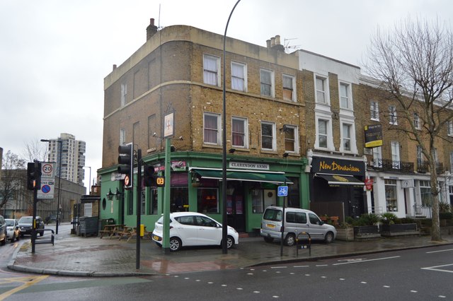
Building came quickly. The Survey of London records that houses on the south side between Vassall and Lothian Roads were erected between 1824 and 1830, with a further run completed before 1840. The flat, low-lying ground north of Coldharbour Lane had not attracted prosperous suburb-seekers before the road existed; the road itself created the demand for housing rather than responding to it. By the time Victoria came to the throne, the terraces were essentially complete.
The railway arrived in 1862. The London, Chatham and Dover Railway opened a station on the viaduct at street level, initially called Camberwell and renamed Camberwell New Road in 1863. It served frequent trains between Moorgate and Victoria. But trams undercut it: electric services drew away passengers, the station dwindled, and wartime economy closed it in April 1916 — “temporarily”, the authorities promised. Studies as recent as 2014 and 2017 have examined reopening it; none has proceeded.