Before the 1870s, the land on which Bonham Road stands was largely open ground on the southern slopes of Brixton Hill—market gardens and fields that had fed London for centuries. The London Borough of Lambeth’s population more than trebled between 1801 and 1831, and pressures on housing land drove builders steadily southward. By the middle of the century, as British History Online records in the Survey of London, Brixton and its neighbouring roads were absorbing dense rows of working- and lower-middle-class terraces built on former glebe and freehold land.
Pre-1870
Open Ground
The land forms part of the agricultural fringes of Brixton Hill, used for market gardens and smallholdings serving the expanding city.
c. 1878
Road Formation
Apportionment files dated 1878 record owners and occupiers of properties on Bonham Road, confirming the street was being built out and surfaced during this period.
c. 1888
Fully Developed
Ordnance Survey maps of the late 1880s show Bonham Road as a completed terrace street within the settled grid of Brixton Hill roads.
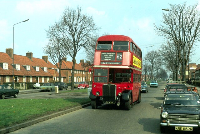
1970
Lambert Road Works
Photographic records show Bonham Road’s junction with Lambert Road during redevelopment works in the area, with St Saviour’s Church visible to the south.
Post-2000
Conservation Context
The wider Brixton Hill terrace stock gains increasing recognition as a coherent example of late-Victorian speculative housebuilding in inner south London.
Did You Know?
Apportionment files from 1878 charged each property owner on Bonham Road their share of the cost of laying paths and roadways adjacent to their land—an early form of the infrastructure levy still used in housebuilding today.
The 1878 apportionment records list Miss Pratt, Mr Dawson, Mr Jarrett, and Miss Phillips among those bearing the costs of construction in the immediate area. These were the small landowners and speculators who built Victorian south London street by street, often investing life savings in two or three houses at a time. The grid of roads of which Bonham Road forms a part—Haycroft, Winslade, Sudbourne, Hayter—emerged from this same speculative wave within a decade.
Excavations and surveys of inner Lambeth by MOLA (Museum of London Archaeology) have documented how the Victorian transformation of south London frequently buried earlier agricultural and garden features beneath terrace foundations, with residual evidence of field boundaries and drainage channels surviving below ground level across the Brixton Hill area.